



PROGRAM SCHEDULE:
Almaty – Turgen gorge – Batan settlement – Temirtas stream – upper reaches of Turgen gorge.
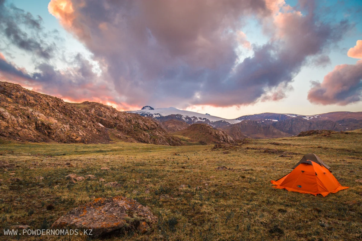
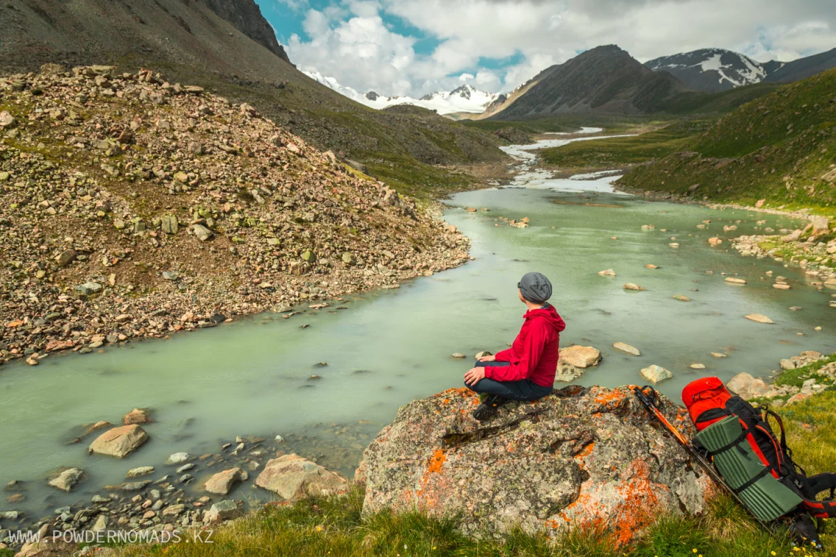
Meeting the guide in the lobby of your hotel/hostel, apartments, airport or train station in Almaty at 7 am. Transfer to the Turgen gorge to the Batan village (approx. 90 km). Start of the trekking route. At the beginning, the path will be running along the old road with a smooth climb to the tributary of Kairak River. Over there we will make stop for break and snacks. Then we turn off the road to a path which will dive into the forest and will lead us along the banks of Turgen River, jumping from one bank to another. In some parts it will be possible to cross the river by the old wooden bridges, but somewhere you will have to wade the river. We will set up a camp on the picturesque glade in the forest near the stream. Rest, dinner and overnight in tents.
Distance: 12 km.
Elevation gain/loss: +800 meters.
Hiking time: 6-7 hours.
Camp altitude: 2500 meters.
Upper reaches of Turgen gorge – moraine of Mining Institute Glacier.
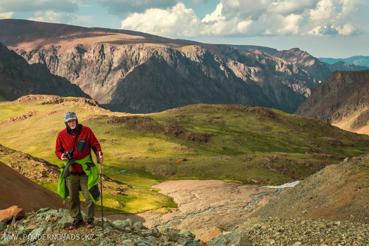
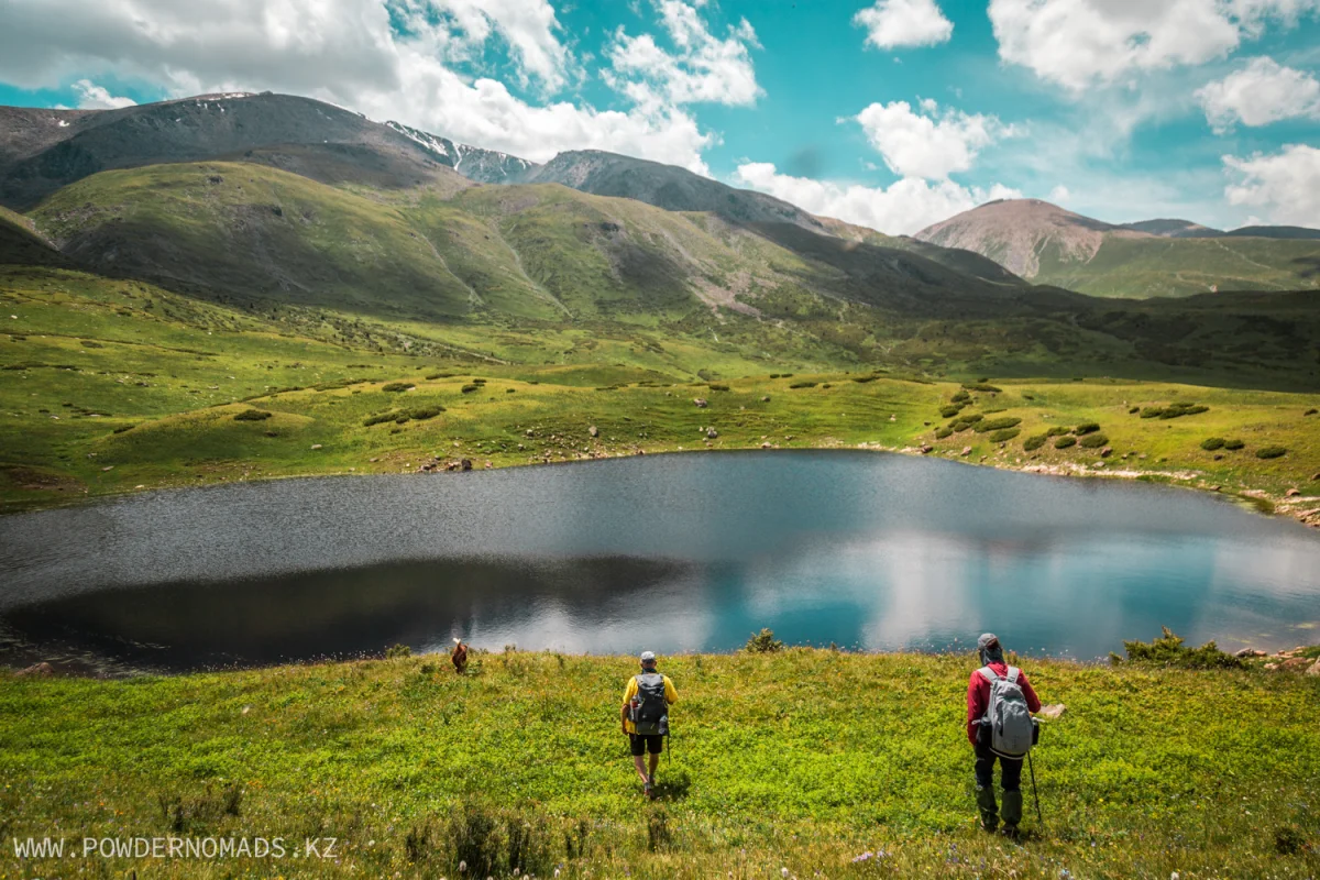
Awakening at 7 am. Breakfast. Packing stuff. At 9 am start moving along the route up the gorge. Almost immediately we will have to cross the river again, first across the bridge, then wade a couple of times. When we leave the forest zone, we will see wide alpine meadows, as well as snow-white peaks visible in the distance. Further, the path will pass through a high-mountainous pasture, where herds of cows and horses graze in summer. Halt by the river for rest and snacks. Then we will continue our ascent up the gorge towards the glacier of the Mining Institute, passing place where the river overflows and forms a picturesque lake. After passing the spill and reaching the beginning of the glacier moraine, we will set up a camp. Rest, dinner and overnight in tents.
Distance: 11 km.
Elevation gain/loss: +950 meters.
Hiking time: 7-8 hours.
Camp altitude: 3450 meters.
Moraine of Mining Institute Glacier– moraine lake – Flat pass– Wolfish pass – Chon-Turgen gorge.
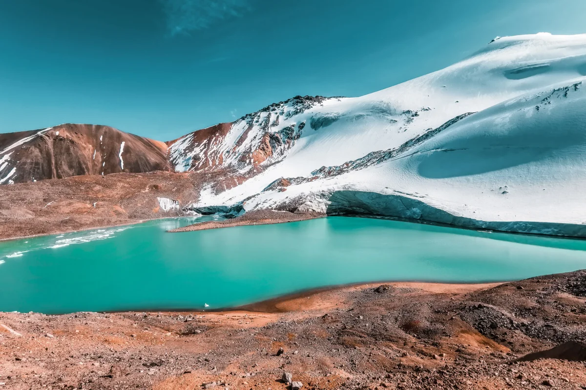
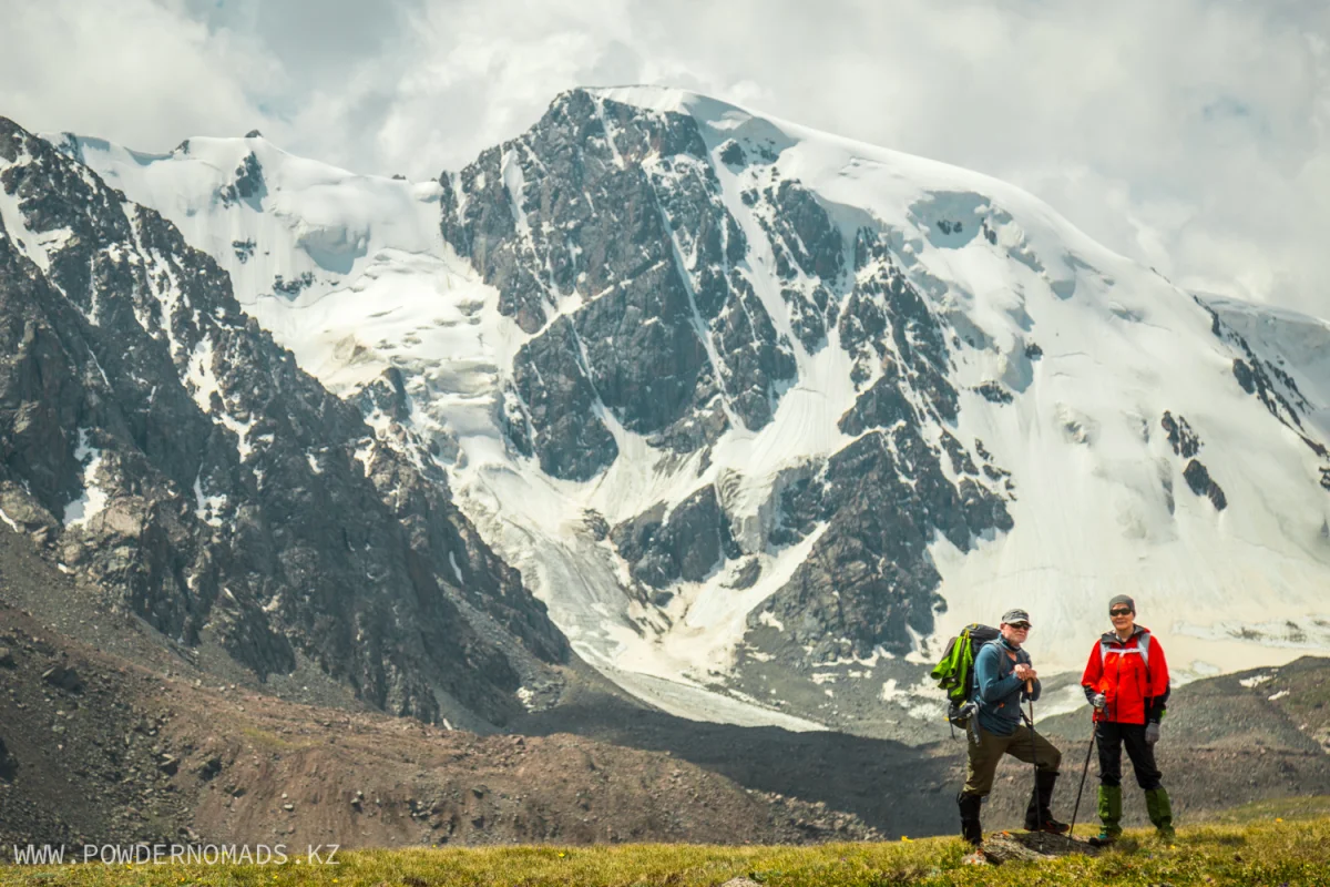
Awakening at 7 am. Breakfast. Packing stuff. Radial hike to the moraine lake of the Mining Institute glacier. The ascent will take about an hour and a half. On the way you will be accompanied by the stunning view of Turgen peak with a height of 4407 meters. The lake is quite large, and during active ice melting, large blocks of ice resembling icebergs can be seen on the surface. In the distance in the south, a snowy peak will be clearly visible, this is Tistaran Peak 4367 meters high. Descent along the ascent line. Hiking up to the west, towards the neighboring Chon-Turgen gorge, which can be reached by passing through two passes. Halt on the second pass with a magnificent panorama of the Chon-Turgen plateau with a height of 3600-4000 meters. In clear weather, from the pass you can also see the wide top of Big Issyk peak, 4250 meters high. Local tourists also call this plateau Kazakhstan Greenland because of the stretched and flat tops of the peaks and glaciers and look very different from the usual steep pointed peaks of Ile Alatau mountains. After we will start descent into Chon-Turgen gorge and set up a camp in on a wide glade in a canyon near the stream. Rest, dinner and overnight in tents.
Distance: 13 km.
Elevation gain/loss: +700/-450 meters.
Hiking time: 7-8 hours.
Camp altitude: 3650 meters.
Highest point of the day: Wolfish pass 3750 meters high.
Canyon of Chon-Turgen – Moraine lakes – Wolfish pass – Flat passПологий – Turgen gorge – Sphagnum lakes.
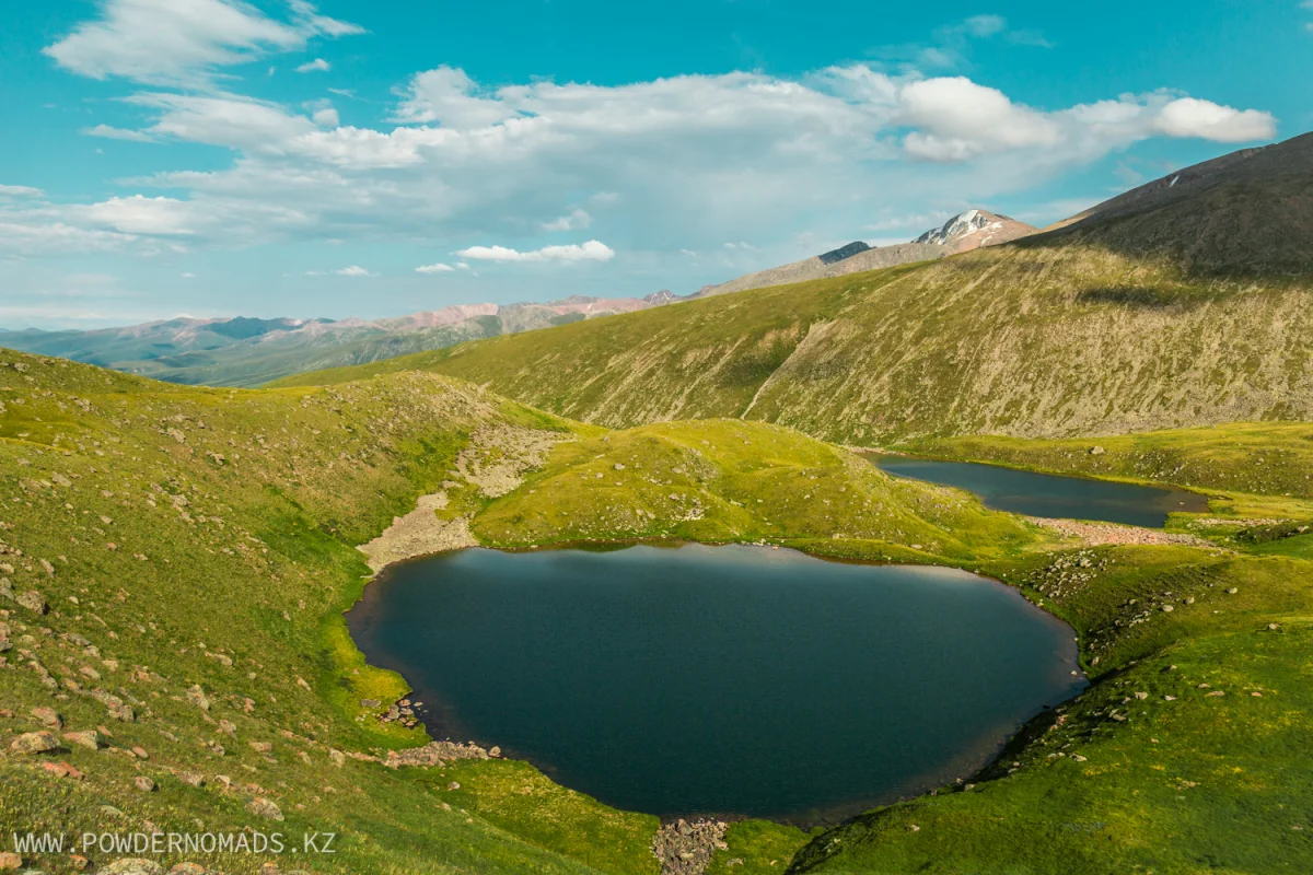
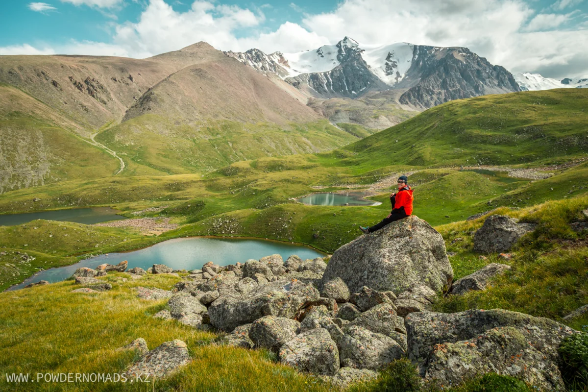
Awakening at 7 am. Breakfast. Packing stuff. Radial hike to the nearby glacial lakes, which are also called “Blue Spills” because of the very bright blue color of the water, which changes its color depending on the weather. Return to the camp site and ascent to the Wolfish Pass. On this day, we have to go back down to the gorge of the Turgen River and spend the night near the chain of four Sphagnum lakes. Setting up a camp, rest, walking around the lakes. These lakes got their name because of the swampy sphagnum thickets around, forming soft pillows on the surface. It is very unusual to step on them, they spring back and create a feeling of movement on mellow snow. Such thickets usually appear in permafrost areas. The maximum water temperature in the lakes is 10-12 degrees, so only hardtempered tourists can have a courage to swim in them. In calm weather without wind, in the mirror-like surface of the lakes, a nearby summit is reflected – Three Lakes peak, 4150 meters high. Dinner and overnight in tents.
Distance: 15 km.
Elevation gain/loss: +400/-900 meters.
Hiking time: 7-8 hours.
Camp altitude: 3250 meters.
Highest point of the day: Chon-Turgen moraine lake 3760 meters high.
Sphagnum lakes – Turgen gorge – Oi-Karagai plateau.
Awakening at 7 am. Breakfast. Packing stuff. Descent along the ascent route of the second day, wading across the river. Ascent to the right-bank Turgen plateau Oi-Karagai. After reaching the highest pint of plateau, we will have a break for rest and snacks. Further, our path lies to the Temirtas river, which in translation from Kazakh means “Iron Stone”. The river originates from the Glaciologists glacier, located in the upper reaches of the gorge. In clear weather, a beautiful picture of whitening snow peaks opens to the south from this place. Setting up a camp by the river, rest. Dinner and overnight in tents.
Distance: 8 km.
Elevation gain/loss: +200/-550 meters.
Hiking time: 4-5 hours.
Camp altitude: 2850 meters.
Highest point of the day: Sphagnum lakes 3250 meters high.
Oi-Karagai plateau – Kairak waterfall – Batan settlement – Bearish waterfall – Almaty.
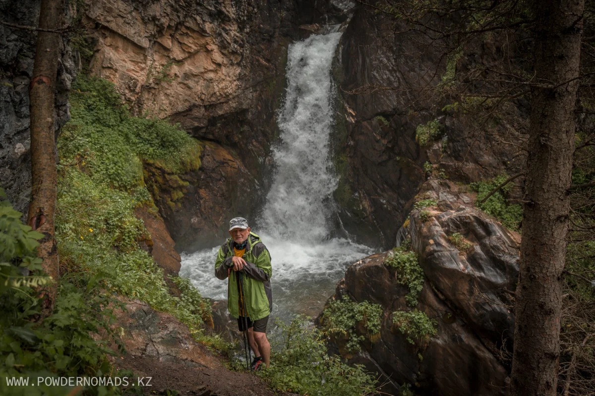
Awakening at 7 am. Breakfast. Packing stuff. Hiking along the hilly Oi-Karagai plateau, like on roller coaster, up and down. On the way to the valley of Kairak river, the trail will begin to go down and will lead us to a small lake, where we will make a short stop for rest and snacks. After crossing the river, we will continue along the dirt road and go down to the Kairak waterfall, which is 40 meters high. Here you can have a good rest and a photo session. There is an observation deck near the waterfall, and a little higher there are picturesque rocks, to which a path leads and from where the most favorable view of its cascades opens. Further descent along the road to the Batan settlement, from where we started in first day. Transfer to Almaty city. On the way, you can also visit Bearish waterfall, located in Turgen Gorge not far from the road, a twenty-minute hike. Dinner in local cafe on the way to the city. Arrival to your hotel/hostel, city airport or train station at about 8 pm.
Distance: 15 km.
Elevation gain/loss: +70/-1200 meters.
Hiking time: 5-6 hours.
 PRICE LIST:
 Accommodation:
 NECESSARY GEAR AND CLOTHING:
 Personal clothing and accessories:
  Food:
Food:  Services included in the package:
  Services does not included in the package:

