



PROGRAM SCHEDULE:
Almaty — Big Almaty Lake — Ozyornoye Base Camp
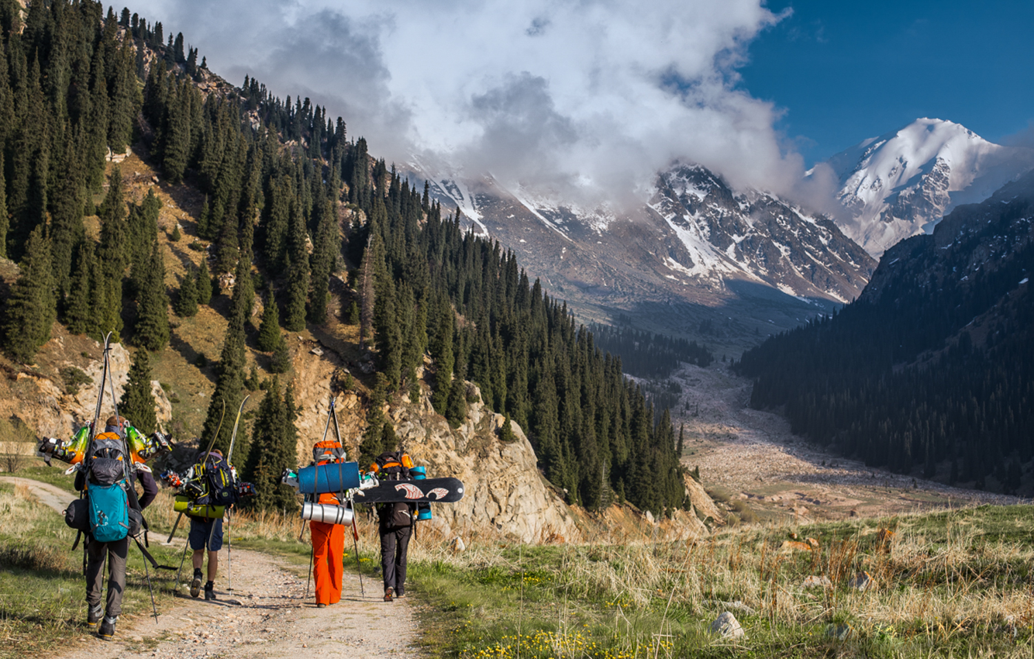
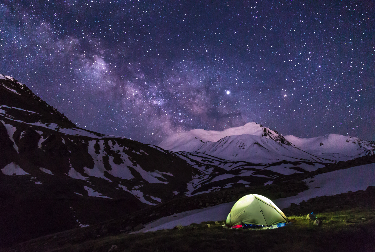
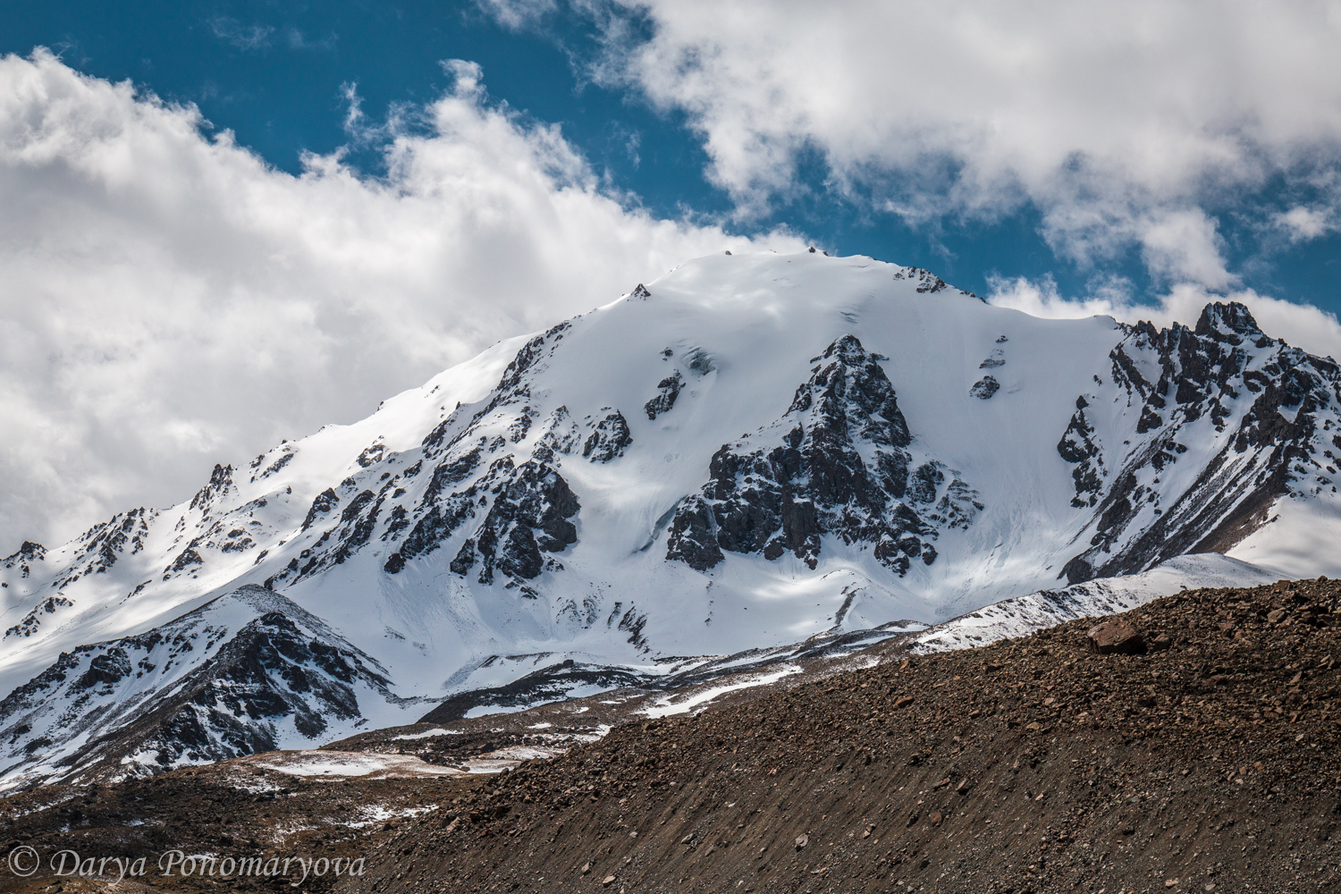
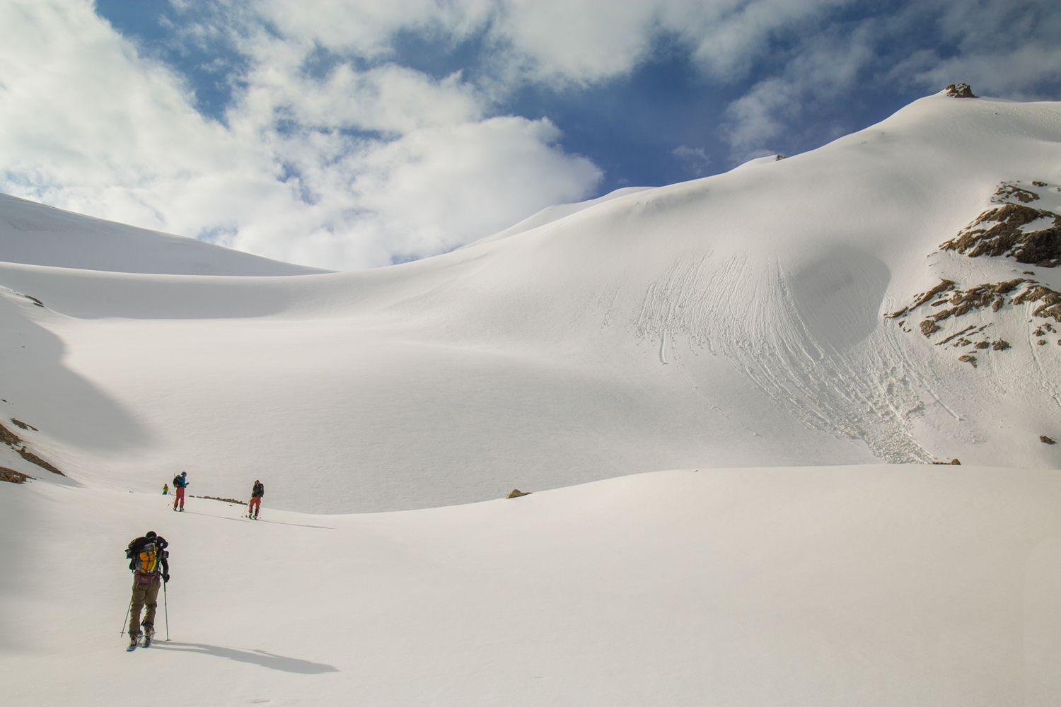
Early departure from Almaty and transfer to the Big Almaty Gorge. The expedition starts near Big Almaty Lake at approximately 2,510 m. While the Powder Nomads team transports and installs the tents, food, fuel and group equipment in advance, participants approach the camp on foot carrying only a light day backpack and their essential personal items. The route follows the upper Ozyornoye Valley along a dirt mountain road combined with hiking trails. We gradually leave the lake behind and enter a wide alpine landscape surrounded by Ozyornyi, Sovetov and the high ridges of the main Ile Alatau range. Depending on seasonal snow coverage, the first part of the approach may be completed in trekking footwear, with skis carried on the backpack. Skis are normally used once continuous snow begins around 3300-3500 m, although the exact snow line changes every season. After arrival to the base camp, participants settle into their tents, have a hot lunch and attend a mandatory expedition briefing. The guides check personal equipment, avalanche gear, crampon compatibility and glacier equipment. If time, weather and group condition allow, we make a short acclimatisation tour above camp to review kick turns, transitions, ski and alpinism crampon use. Dinner in the kitchen tent, rest.
Route Statistics
Walking distance: 9 km
Elevation gain: +850
Starting altitude: 2510 m
Camp altitude: 3200 m
Approach time: 4-6 hours
Day 2. Acclimatisation Tour and Ozyornyi Sector
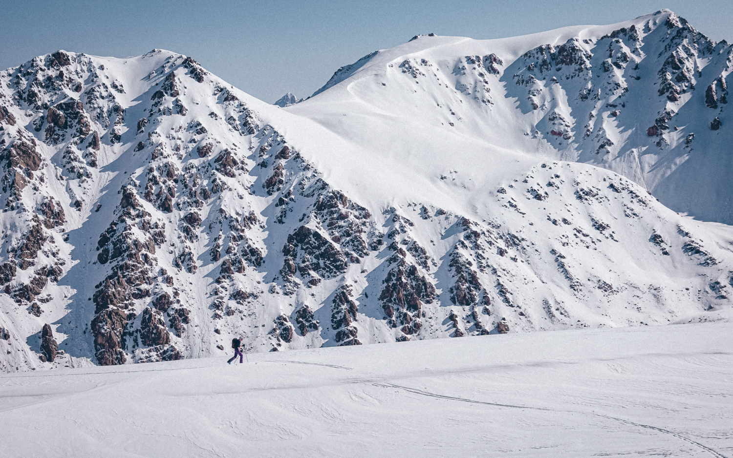
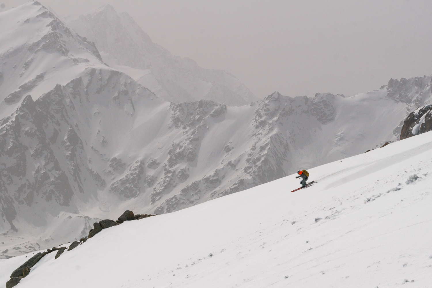
The first full ski-mountaineering day is designed to help the group adapt to altitude and allow the guides to assess movement, pace and technical skills. After an early breakfast, we leave camp toward the slopes and glacier terrain beneath Ozyornyi Peak. The route may include moderate ski touring, steeper kick-turn sections and a possible bootbacking in crampons, col or summit route, depending on conditions. Ozyornyi closes the upper part of the gorge and provides a natural first objective from base camp. The main goals of the day are acclimatisation, safe movement as a guided team and evaluation of the spring snow cycle. The descent is selected according to snow quality and stability. In warm spring conditions, timing is especially important: the group normally starts early and returns before the slopes soften excessively. Return to base camp, hot meal, rest and guide briefing for the next objective.
Route Statistics
Distance: 12 km
Elevation gain and loss: +900 to +1200 m / -900 to -1200 m
Highest point: 4126 m
Activity time: 6-8 hours
Sovetov or Kairaktas Ski-Mountaineering Day
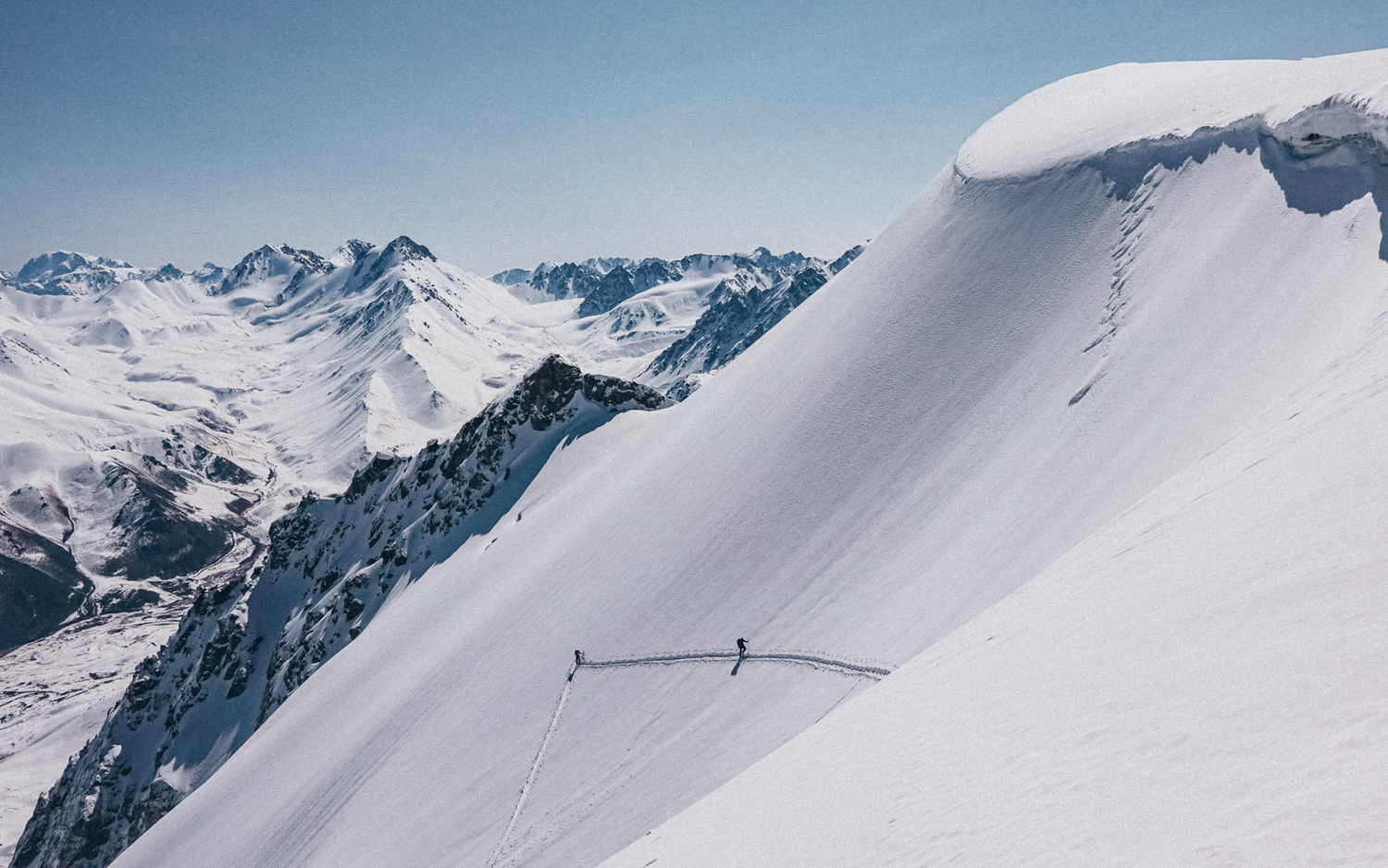
Today we move into more serious terrain. Depending on snow stability and group performance, the guides may select the Sovetov sector, Kairaktas or another suitable objective above the camp. Sovetov is one of the dominant summits above the Big Almaty Lake basin and rises to 4317 m. The ascent may begin on skis before continuing over steeper snow, moraine or glaciated terrain. A ski depot may be established below the final summit section. From there, the group may continue in crampons with ice axes and, where required, move roped together. Potential hazards include morning firn snow, exposed traverses, cornices, changing surface conditions, rockfall during warm periods and concealed glacier crevasses. The exact summit route and descent line are chosen on the day. The guide may turn the group around at any point if snow, weather, timing or participant condition does not meet the required safety margin. Return to base camp, recovery meal, equipment drying and route planning in the kitchen tent.
Route Statistics
Distance: 9-15 km
Elevation gain and loss: +1100 to +1400 m / -1100 to -1400 m
Highest altitude: approximately 4228-4317 m
Activity time: 7-10 hours
Almaty-Alagir Sector
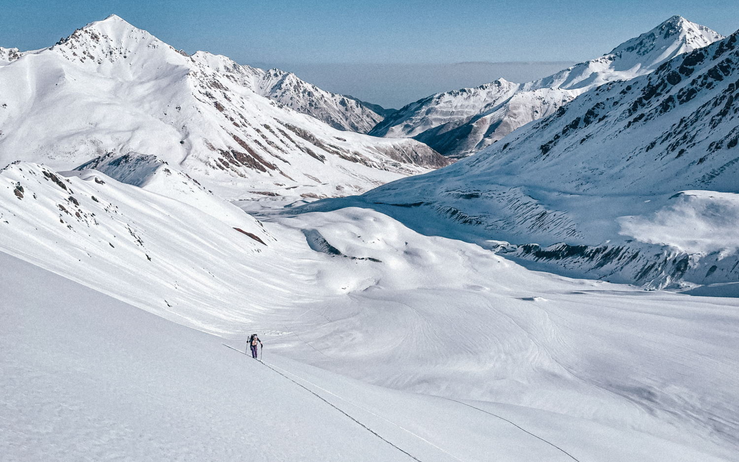
An early alpine start takes us toward the upper western or south-western sector of Ozyornoye Gorge. Almaty–Alagir Peak rises to approximately 4225 m on the main Ile Alatau ridge. The nearby Almaty–Alagir Pass, at 3655 m, connects the upper Ozyornoye and Prokhodnoye valleys and may provide an alternative objective when summit conditions are not feasible. This day may involve a longer valley approach followed by steeper ski touring toward the pass, shoulder or summit route. Depending on snow coverage, the upper section may require a ski depot and ascent with crampons and an ice axe. From the higher points, extensive views open across the Ozyornoye basin, the Big Almaty spur and the high border ridge toward Kyrgyzstan. The descent may include a combination of spring corn, firm snow, wind-affected surfaces and narrow connecting sections. The guide will select the safest aspect according to the time of day and snow conditions. If the summit sector is unsafe or the group needs a shorter recovery day, the program may be changed to a lower pass, glacier reconnaissance or technical skills session near camp. Return to base camp, hot meal, rest and guide briefing for the next objective.
Route Statistics
Distance: 12-18 km
Elevation gain and loss: +1000 to +1300 m / -1000 to -1300 m
Highest altitude: 3655–4225 m
Activity time: 7-10 hours
Molodaya Gvardiya or Leninskaya Smena Sector
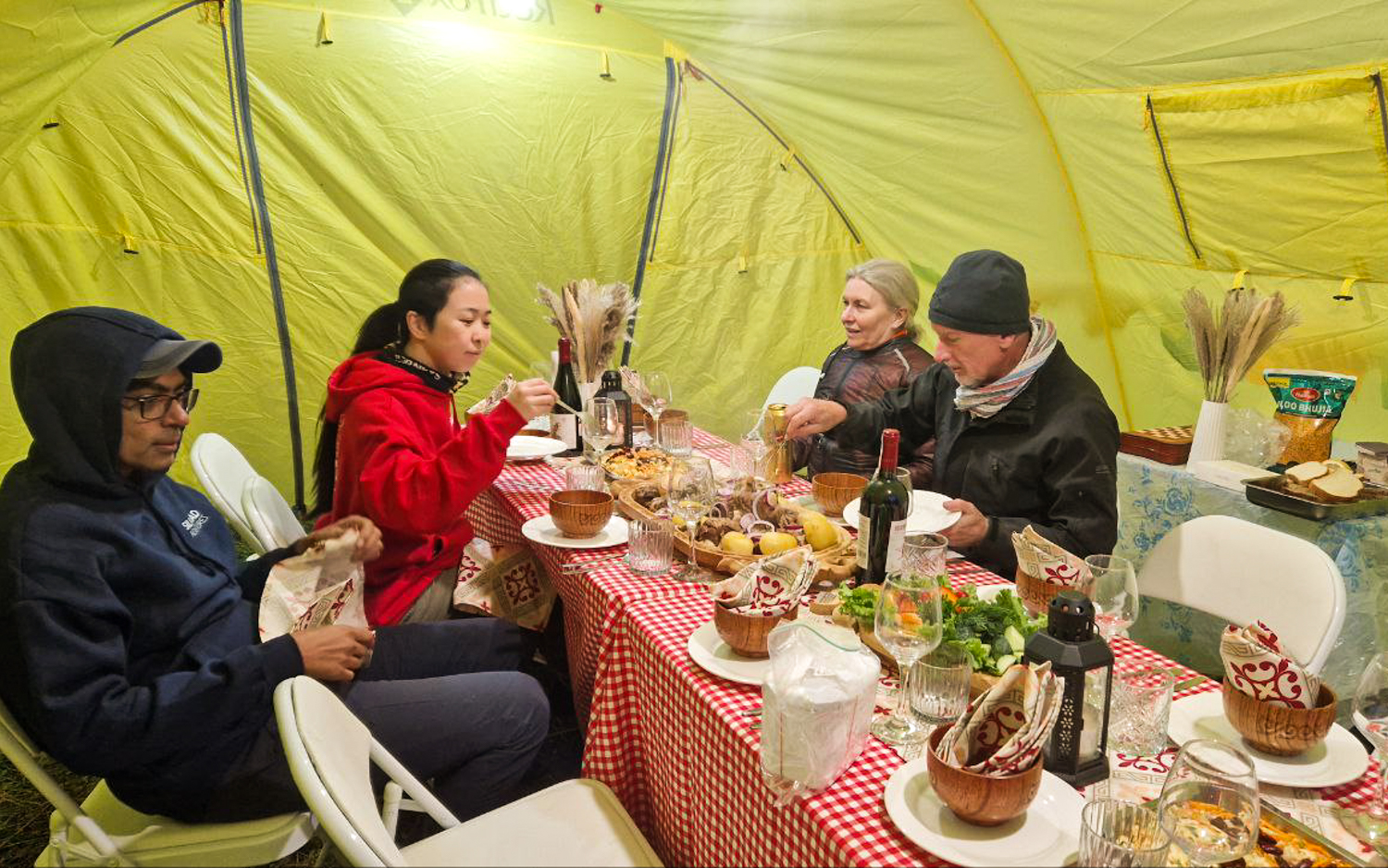
This is planned as one of the strongest expedition days. After several days of acclimatisation, the group may attempt a higher and more remote objective in the Molodaya Gvardiya or Leninskaya Smena sector. Molodaya Gvardiya reaches 4398 m and forms part of the high mountain system surrounding the upper glacial basins of Ozyornoye Gorge. The route can involve a long ski approach, glacier travel and a technically demanding summit section. Depending on the selected line, participants may need to move in rope teams, cross crevassed terrain and climb firm snow or short mixed sections in crampons. A ski depot may be made well below the summit. The final decision to continue depends on turnaround time, weather development and the condition of every participant. If the main objective is not suitable, the guides will select another peak, pass or ski descent with a safer profile. Return to base camp, hot meal, rest. Final expedition dinner and review of the week in the communal tent.
Route Statistics
Distance: 12-20 km
Elevation gain and loss: +1200 to +1500 m / -1200 to -1600 m
Highest possible altitude: 4398 m
Activity time: 8-11 hours
Reserve Objective — Base-Camp Descent — Almaty
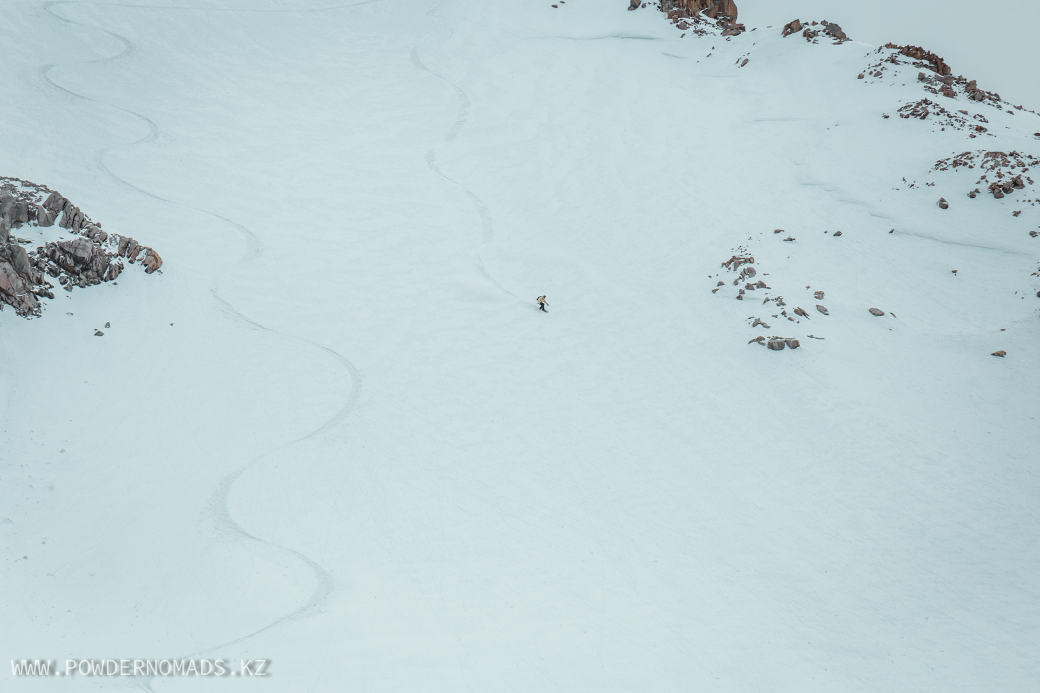
The final day remains flexible. If timing and conditions allow, we may complete a shorter sunrise ski tour above camp. Otherwise, after breakfast, we pack personal equipment while the expedition team takes care of the camp. Participants descend toward Big Almaty Lake with light backpacks. Depending on the snow line, the first section may be completed on skis before changing to trekking footwear for the lower dirt-road and trail sections. At Big Almaty Lake, we meet the vehicle and transfer back to Almaty. Arrival in Almaty in the afternoon or evening.
Route Statistics
Optional morning tour: 6-8 km
Optional elevation gain: +500 to +700 m
Descent to Big Almaty Lake: 9 km
Elevation loss: -850 m.
Total activity time: 4-7 hours
 PRICE LIST:
 Accommodation:
 NECESSARY GEAR AND CLOTHING:
 Safety:
 Personal clothing and accessories:
 Equipment:
 Food:
 Services included in the package:
 Services does not included in the package:


